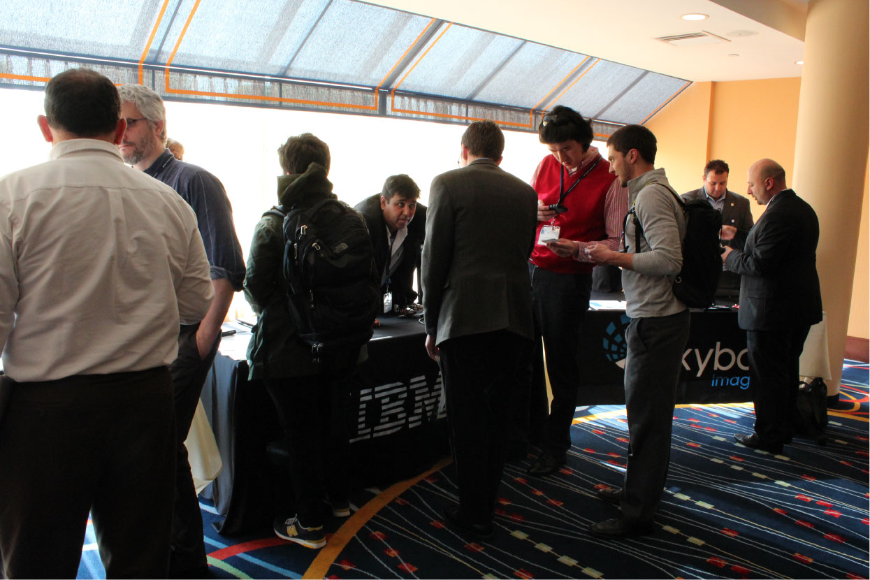
HumTech2015 Exhibitors

DigitalGlobe, a leading provider of commercial high-resolution imagery and advanced geospatial solutions, helps decision-makers better understand our changing planet to save time, resources, and lives. Sourced from the world’s leading constellation, our imagery-based solutions aid humanitarian missions in Seeing a Better World.
- Disaster Preparedness Solutions
- Humanitarian Relief Response
- Timely Ground Truth
- Crowdsource Mapping
[expand title=”read more” swaptitle=”Hide”]
For more information, please visit https://www.digitalglobe.com/
[/expand]

In today’s connected world, every organization is deeply impacted by events across the globe on a daily basis. Skybox Imaging was founded on the premise that an ability to better understand these phenomena could fundamentally change the way humanity makes decisions on a daily basis — increasing the profitability of businesses and improving the welfare of societies worldwide.
[expand title=”read more” swaptitle=”Hide”]
For more information, please visit: http://www.skyboximaging.com/
[/expand]
Humanitarian drones to end the use of starvation and medical deprivation as weapons of war.
[expand title=”read more” swaptitle=”Hide”]
For more information, please visit: http://uplift.aero/
[/expand]
Ushahidi is a global non-profit technology company with origins in Kenya. Ushahidi’s mission is to change the way information flows in the world and empower people to make an impact with open source technologies, cross-sector partnerships, and ground-breaking ventures.
[expand title=”read more” swaptitle=”Hide”]
For more information, please visit: http://www.ushahidi.com/
[/expand]
 The Aquagenx Compartment Bag Test (CBT) is a simple, portable water quality test kit that lets anyone, anywhere determine if drinking water contains E. coli bacteria and poses a health risk. It is ideal for on-site testing in disaster settings because it generates quantified test results without requiring electricity, labs or extra equipment such as incubators and UV lamps. In the wake of a disaster, sewage, septage and animal waste are E. coli sources that find their way into drinking water. With the CBT, disaster response providers and humanitarian organizations around the world quickly and easily test for water quality to ensure safe drinking water without having to send water samples to a lab.
[expand title=”read more” swaptitle=”Hide”]
For more information, please visit: http://www.aquagenx.com/
[/expand]
Simply put, Federation for Internet Alerts’ mission is to help its Partners in striving to get crucial alerts in front of the right people at the right time and in the right location.
Our mission is to be a facilitator for Internet technology and services collaboration among companies, non-governmental organizations, and alerting authorities to promote standards-based, all-hazards, all-media, authoritative alerting to individuals in societies worldwide. For instance, some FIA Partners have established a precise, uniform notification system that dynamically renders emergency alert information and automatically disseminates it to the appropriate population via the Internet, anywhere in the world and in the user’s preferred language.
[expand title=”read more” swaptitle=”Hide”]
For more information, please visit: http://www.internetalerts.org/
[/expand]
Built on public health evidence and guided by multiple years of field experience, HUMANIT3D was designed and developed to improve disaster response by allowing geo-located information capture and management, even
in the most austere environments. HUMANIT3D collects, filters, processes and distributes information for through the most advanced mobile technologies. Its integrated ecosystem allows on the fly data collection, real-time mapping with UAVs, direct annotations in 2D and 3D environments, and enhanced collaboration in a
resilient and secure network.
[expand title=”read more” swaptitle=”Hide”]
For more information, please visit: http://www.humanitas.io/
[/expand]

First Mile Geo is a software company that enables organizations to collect, visualize, and monitor data in any language, through multiple methods, and on the fly. It links structured forms and surveys directly to dashboards and analytical tools designed for the non-techy.
[expand title=”read more” swaptitle=”Hide”]
For more information, please visit: https://www.firstmilegeo.com/
[/expand]
DrivenData brings the transformative power of data science to the social sector. We partner with impact organizations to run open, online competitions that engage our global community of data scientists in building algorithms for social good.
[expand title=”read more” swaptitle=”Hide”]
For more information, please visit: http://www.drivendata.org/
[/expand]
The Emergency Telecommunications Cluster (ETC) is a global network of organizations that work together to provide shared communications services in humanitarian emergencies. Within 48 hours of a disaster, the ETC provides vital security communications services and voice and internet connectivity to assist humanitarian workers in their life-saving operations. Within four weeks, ETC services are expanded for continued emergency relief.
By 2020, the ETC in partnership with leading edge technology companies and local telecomm providers, aims to create an environment for emergency response which allows humanitarian responders, citizens and governments to have a seamless, resilient and principled communications experience, facilitating the delivery of humanitarian aid.
[expand title=”read more” swaptitle=”Hide”]
For more information, please visit: http://ictemergency.wfp.org/
[/expand]

The Geographic Information Science and Technology (GIST) Group at the Oak Ridge National Laboratory has been a pioneer in the development, implementation, and application of systems, science, and technology for geographic information since 1969 – well before the advent of commercial GIS. In the DOE national laboratory system, it is the only computational research group focused on advancing the theory and applications of geospatial science and technology. Today, the GIST group is an internationally renowned R&D organization of over thirty diverse scientific professionals who bring together a wide range of expertise ranging from GIS and remote sensing technologies to key domain sciences. We focus on developing innovative, knowledge discovery, solutions to solve multidisciplinary and complex problems for energy, environment, and national and homeland security missions. In addition, we actively partner with leading academic institutions to collaborate with faculty members and engage students to support the national priority of research, education, and workforce development.
[expand title=”read more” swaptitle=”Hide”]
Current research and development activities span across high resolution population distribution and dynamics, energy assurance including modeling and visualization of the electric grid and biomass and bioenergy resources, climate change science including climate extremes and integrated impact analysis, emergency and disaster management, critical infrastructure modeling and simulation, and earth science informatics. Our work has been supported by the U. S. Departments of Energy; Department of Homeland Security; Department of Defense; Department of Transportation; Environmental Protection Agency; Bureau of Census; National Aeronautics and Space Administration; National Institute of Health; National Oceanic and Atmospheric Administration; and a number of member agencies of the Intelligence Community.
For more information, please visit: https://www.ornl.gov/
[/expand]

Lua is a secure mobile app, utilized by fast moving organizations, designed to provide a more accountable and efficient way for employees to coordinate and communicate with each other.
The current shift in workforce demographics, combined with the overwhelming nature of today’s email inbox, has led to 70% of workers using personal and consumer text messaging applications for work-related communication in order to maintain the speed of business. By centralizing communication and accountability within an enterprise mobile messaging app, stakeholders can message securely, initiate instant group calls, and share critical documents in compliance with company standards.
The communication data provided by the Lua Insights analytics dashboard impacts the bottom line by identifying communication bottlenecks, broken processes, and communication hotspots. Lua is currently being used by the US Army, eBay, and Kaiser Permanente.
[expand title=”read more” swaptitle=”Hide”]
For more information, please visit: https://www.getlua.com/
[/expand]
Vecna Cares Charitable Trust provides technology and training to support and strengthen health systems in underserved areas for better health outcomes. We build systems that close the information gaps between patients, caregivers and decision makers.
[expand title=”read more” swaptitle=”Hide”]
For more information, please visit: https://www.vecnacares.org/
[/expand]
Rescue Global is a UK charity, US not-for-profit and International NGO. We champion a systematic and holistic approach to disaster risk reduction and response, throughout all phases of the disaster cycle: mitigation, preparedness, response and recovery. Our mission is to: Save Lives. We do this by empowering decision makers who work in the Disaster Risk Reduction and Response environment. We also conduct disaster reconnaissance, liaison and mentoring missions worldwide.
[expand title=”read more” swaptitle=”Hide”]
For more information, please visit: http://www.rescueglobal.org/
[/expand]
Dharma Humanitarian Solutions provides data collection and analysis tools for humanitarian organizations. Its mobile data collection tool has been successfully deployed in the Middle East and has drastically reduced the time it takes to get information back from the field. We believe that humanitarian organizations need better tools that help facilitate data collection and analysis. We bring our experience as data scientists, security experts, and front-line humanitarian workers to our products to ensure that they are powerful, secure, and ready to be deployed in any situation.
[expand title=”read more” swaptitle=”Hide”]
For more information, please visit: http://dharmahumanitariansolutions.com/
[/expand]
The Harvard Humanitarian Initiative’s Signal Program, which researches how information technologies can be used during humanitarian and human rights emergencies, is exhibiting two of their research projects. First, a machine learning algorithm, known as the Tukul Detector, which is currently being developed to detect and count the number of traditional African huts present in a satellite image. Second, the Signal Program is showcasing their recently released “Typing Guide: Interpreting Satellite Imagery of Displaced Population Camps.” This publication aims to assist volunteers and new analysts working to “type,” or identify, structures present in displaced persons camps.
[expand title=”read more” swaptitle=”Hide”]
The Harvard Humanitarian Initiative (HHI) is a university-wide center involving multiple entities within the Harvard community that provide expertise in public health, medicine, social science, management, and other disciplines to promote evidence-based approaches to humanitarian assistance.
The mission of the Initiative is to relieve human suffering in war and disaster by advancing the science and practice of humanitarian response worldwide. HHI fosters interdisciplinary collaboration in order to:
- Improve the effectiveness of humanitarian strategies for relief, protection and prevention;
- Instill human rights principles and practices in these strategies;
- Educate and train the next generation of humanitarian leaders
For more information, please visit: http://hhi.harvard.edu/
[/expand]
Interested in Exhibiting at HumTech2015?
The HumTech2015 Organizers invite you to demonstrate and exhibit services, products and technologies that relate to humanitarian action.
A dynamic session is being planned that will offer a unique opportunity for posters, exhibits and hands-on technology demonstrations to be shared with researchers and field workers, students and academic faculty, government partners and thought leaders. This is a great opportunity to reach an influential audience.
Please contact program@humanitariantechnology.org for more information regarding exhibit opportunities.